The Richmond River Coastal Management Program (CMP) will provide the long-term strategy and management actions for the Richmond River estuary, balancing priorities for environmental, cultural, recreational and commercial values, along with adaptation to emerging issues such as sea level rise and a changing population.
Preparation of the CMP will be undertaken in accordance with the NSW Coastal Management Act 2016 and the five stages outlined by the NSW guidelines for coastal management in the Coastal Management Manual. The manual outlines the mandatory requirements and provides guidance on the preparation, development, adoption and content of the CMP. The development of the CMP is a comprehensive process requiring detailed review and analysis as well as an extensive stakeholder consultation process.
Rous, in partnership with its constituent councils and the NSW State Government, is responsible for delivering the Coastal Management Program for the Richmond River. Below is information on the stages of development as well the current phase of the program.
Richmond River Estuary CMP Catchment & Study area
The CMP is now in Stage 2 of a five-stage process of development. The five stages are listed below:
Stage 1 – Scoping study
Stage 2 – Detailed studies of vulnerabilities and opportunities
Stage 3 – Identification and evaluation of options
Stage 4 – Prepare, exhibit, certify and adopt the CMP
Stage 5 – Implementation, monitoring and reporting
STAGE 1
The Stage One Scoping Study has been prepared and is the first of 5 stages of the CMP development. The CMP Scoping Study identifies issues and knowledge gaps and documents the requirements for CMP development and engagement of the community and stakeholders in the CMP process.
The Stage 1 Scoping Study was completed in 2023 and is available to view and download via the link below:
STAGE 2
Stage Two of the CMP aims to address knowledge gaps through research to explore vulnerabilities and opportunities. In the case of the Richmond River CMP, three particular avenues of investigation were identified and undertaken:
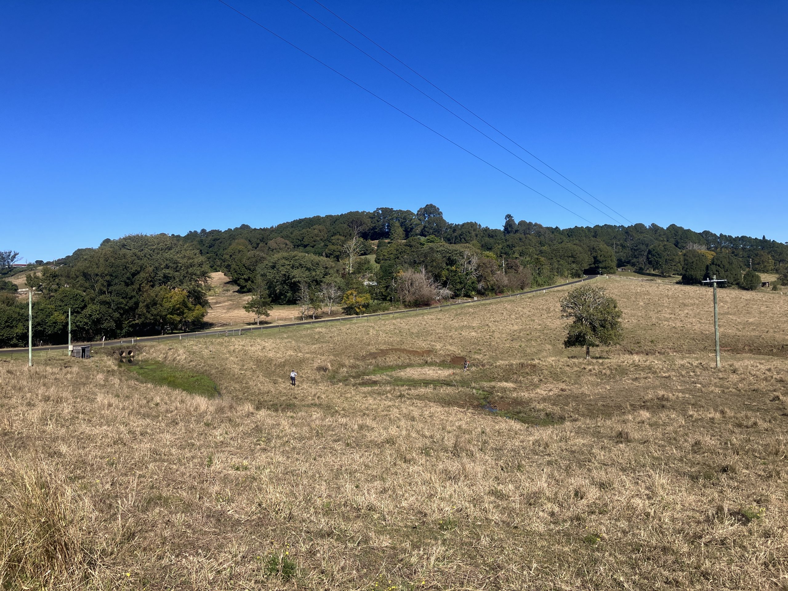
- Sediment pollution sources into the Richmond River catchment
The Precision Erosion and Sedmenet Management group at Griffith University was engaged to develop the report on sediment pollution sources to the Richmond River. The report aims to develop a clear evidence base on sediment pollution sources across the catchment.
Using field data, modelling, and spatial analysis, the report highlights key erosion hotspots and shows that much of the sediment reaching the coast comes from upstream areas of the catchment. It also reinforces the link between vegetation cover and reduced erosion.
This stage provides the scientific foundation to target future actions, ensuring efforts to reduce sediment are strategic, effective, and focused on improving the long-term health of the Richmond River.
You can download and read the report here.
2. Tidal inundation modelling and risk assessment for the Richmond River Estuary
Stage 1 of the CMP identified a series of risks posed by future sea level rise. This includes, but is not limited to, the following:
- Degradation or loss of assets and infrastructure
- Loss of riparian vegetation
- Migration of estuarine and riparian vegetation communities
- Storm tide inundation
- Changing geomorphology
Research in Stage 2 of the Richmond River CMP involves a combination existing flood models to simulate tidal behaviour across the full estuary under current conditions and a range of future sea level rise scenarios.
The study maps tidal extent, depth, duration and velocity, and assesses how rising water levels may impact drainage infrastructure, including stormwater outlets and tide gates. It also incorporates model validation, stakeholder input, and GIS-based analysis of low-lying areas.
The findings provide a robust basis for understanding current and future inundation risks, supporting targeted, practical adaptation planning across the Richmond River estuary.
The final report for the tidal inundation study is still being finalised. When it has been released, you’ll be able to download it from this page.
3. Cultural Engagement
Rous is currently exploring the best ways to work collaboratively with First Nations groups to identify how cultural values can inform and influence the development of the CMP. The intention is to undertake this work in a culturally appropriate way and may include attendance at events to gain feedback and advice from the local First Nations communities on what they would like the CMP to address when it comes to the local waterways within the Richmond River catchment.
Details on funding
The Richmond River Coastal Management Program is funded by the NSW government, under the Coastal and Estuary grants program.
Partners
NSW Government, local councils within the Richmond River catchment, First Nations organisations and individuals, and the wider community.