Home » Flood mitigation » Floodplain management » Richmond River CMP
Richmond River CMP
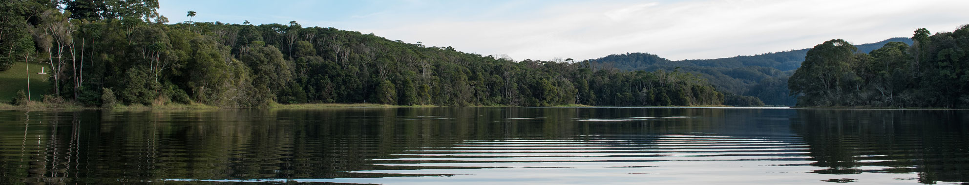
The Richmond River Coastal Management Program
The Richmond River Estuary Coastal Management Program (CMP) will provide the long-term strategy and management actions for the Richmond River estuary, balancing priorities for environmental, cultural, recreational and commercial values, along with adaptation to emerging issues such as sea level rise and a changing population.
Preparation of the CMP will be undertaken in accordance with the NSW Coastal Management Act 2016 and the five stages outlined by the NSW guidelines for coastal management in the Coastal Management Manual. The manual outlines the mandatory requirements and provides guidance on the preparation, development, adoption and content of the CMP. The development of the CMP is a comprehensive process requiring detailed review and analysis as well as an extensive stakeholder consultation process.
Rous County Council, in partnership with its constituent councils and the NSW State Government, is responsible for delivering the Coastal Management Program for the Richmond River. Below is information on the stages of development as well the current phase of the program.

Richmond River Estuary CMP Catchment & Study area
The CMP is now in Stage 2 of a five-stage process of development. The five stages are listed below:
- Stage 1 - Scoping study
- Stage 2- Detailed studies of vulnerabilities and opportunities
- Stage 3- Identification and evaluation of options
- Stage 4 - Prepare, exhibit, certify and adopt the CMP
- Stage 5 - Implementation, monitoring and reporting
STAGE 1
The Stage One Scoping Study has been prepared and is the first of 5 stages of the CMP development. The CMP Scoping Study identifies issues and knowledge gaps and documents the requirements for CMP development and engagement of the community and stakeholders in the CMP process.
The Stage 1 Scoping Study was completed in 2023 and is available to view and download via the link below:
STAGE 2
Stage Two of the CMP aims to address knowledge gaps through research to explore vulnerabilities and opportunities. These areas include investigation of the following areas:
- Catchment-wide risk-based planning for on-ground works.
- Tidal inundation modelling and risk assessment.
- Cultural values/engagement.
The intention is to complete all three studies in 2024/25 which will allow Rous and its partners to move to Stages 3 and 4 in 2025/26.
-
Catchment-wide risk-based planning for on-ground works
The Precision Erosion and Sediment Management Research Group at Griffith University has been awarded the tender to undertake a year-long study on prioritising the most at-risk areas within the catchment to inform the nature and location of future rehabilitation works.
Using the most recent Lidar imagery from 2022, in comparison to existing Lidar datasets from previous years, waterways within the catchment will be divided into thousands of 500m reaches with erosion rates are analysed to understand dynamics within each river reach and assess the impact of the 2022 flood events on local geomorphology. The findings from the Lidar will then be subject to ground-truthing in the next stage of the study to evaluate the accuracy of the data derived from satellites.

By contrasting historical Lidar satellite imagery with the most recent dataset from 2022, the study will be able to identify ‘red spots’ where there has been a change in geomorphology suggesting erosion has occurred.
By undertaking this process, Rous in partnership with Griffith University will be able to develop a prioritisation tool that allows for the limited amount of funding and resources in riparian rehabilitation to be directed at the most important areas of the catchment. While high-erosion areas will be identified, the study can also find sites where low-effort intervention can result in an assisted rehabilitation that requires less resources to still produce an outcome that will be beneficial to waterway health.
The catchment-wide risk base planning will also map the presence and dynamics of landslides across the upper catchment Richmond River, most of which occurred during the 2022 flood events. These landslides represent a significant sediment input into our river systems, particularly when in direct contact with the main channel of our creek networks, and as such represent a significant remediation opportunity.
The results of this project will be made public at its culmination in late 2025 and will be useful for all catchment stakeholders in future decision making. Rous will use the study to inform our riparian rehabilitation strategy through the River Reach program that operates within our drinking water catchments.
-
Tidal inundation modelling and risk assessment
Stage 1 of the CMP identified a series of risks posed by future sea level rise. This includes, but is not limited to, the following:
- Degradation or loss of assets and infrastructure
- Loss of riparian vegetation
- Migration of estuarine and riparian vegetation communities
- Storm tide inundation
- Changing geomorphology
Rous has now contracted Bluecoast to prepare a tidal inundation study using modelling to examine future impacts as a result of sea level rise. This tool will be useful for future urban planning scenarios, riparian rehabilitation work, and much more.
Cultural values/engagement
Rous is currently exploring the best ways to work collaboratively with First Nations groups to identify how cultural values can inform and influence the development of the CMP. The intention is to undertake this work in a culturally appropriate way and may include attendance at events to gain feedback and advice from the local First Nations communities on what they would like the CMP to address when it comes to the local waterways within the Richmond River catchment.