Home »
Virtual landscape
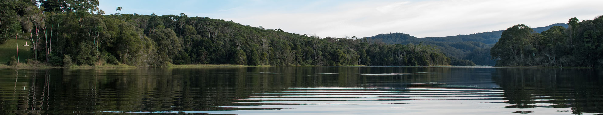
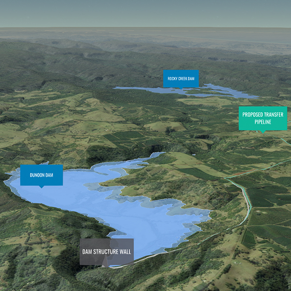
Rous County Council (RCC), in collaboration with Queensland University of Technology (QUT) have developed a flyover virtual 3D landscape model of our catchment to assist the community to visually understand our current and proposed water supply assets in relation to the Future Water Project 2060 proposal.
Once you enter the site, move through the catchment journey selecting the Next button on the left-hand side of the screen. Alternatively, use the up and down arrow or top banner bar within the same information slide.
Conditions of access to information
Before proceeding, please read and signify your agreement to the following conditions of use.
Conditions of use
If you access this website you will be taken to have agreed to the following conditions of access: The contents of this website are subject to copyright and are protected by the laws of Australia and other countries through international treaties. RCC grants you a non-exclusive licence to reproduce the contents of this website - (a) in your web browser (and in any cache file produced by your web browser); and (b) on a printout, for the sole purpose of viewing the content. RCC reserves all other rights.
The information on this website has been taken from RCC's databases and maps dated up to and including 2020. It is made available in good faith, but its accuracy and completeness are not guaranteed. If you intend to rely on any information from RCC you should apply to RCC in writing for that information. RCC is not responsible for, and gives no guarantee concerning the contents of any linked website or any link contained in any linked website. To the maximum extent permitted by law, RCC excludes all liability to you for loss or damage of any kind and however caused, including by negligence, arising from or relating in any way to the contents of this website and/or your use of it. All matters relating to this website are governed by the laws of the State of New South Wales, Australia.
Data and GIS layers for this virtual landscape were sourced from the following:
- © Mapbox © OpenStreetMap Improve this map
- DFSI Spatial Services NSW
- Data available from the U.S. Geological Survey, © CGIAR-CSI, Produced using Copernicus data and information funded by the European Union - EU-DEM layers, Data available from Land Information New Zealand, Data available from data.gov.uk, Data courtesy Geoscience Australia
I Agree – Start RCC visualisation
Troubleshooting the virtual landscape
Navigation
There are several ways you can navigate through the presentation:
- Use the Next button at the bottom of the left-hand side information box
- Use the arrows on the right-hand side of the information box
- You can navigate to any section using the banner bar at the top of the information box (see image below)
The visual map layer is not loading.
The virtual landscape requires a 4G or ADSL connection at a minimum. The recommended internet browser is Chrome.
The interface is built for a minimum 10” screen
I only get a blank screen when I click on the link?
This may because you are using an internet browser that is not compatible with this virtual landscape. Try using Chrome.
I’ve zoomed in or out and can’t return to the starting view.
Select one of the navigation dots in the left-hand side navigation tool to return to the original view for that slide or use the banner bar at the top of the information box.
There is no audio streaming with the slideshow.
This is the first release of our virtual landscape and does not contain audio. Future releases will include a narration of the landscape.
My virtual landscape has frozen.
This may be due to your internet speed. The virtual landscape requires a 4G or ADSL connection at a minimum. The recommended internet browser is Chrome.
I can’t see the towns or cities around Australia.
The virtual landscape only includes key townships to help the community understand general locations.
The ocean looks all black.
We have only had certain parts of the ocean modelled that relate specifically to our virtual landscape tour. Not all ocean areas have been mapped.