Home » Community education » Your school » Augmented reality sandpit
Augmented reality sandpit
We are currently not taking bookings for the augmented reality sandpit or the catchment trailer. Updates regarding their availability will be made via our social media channels.

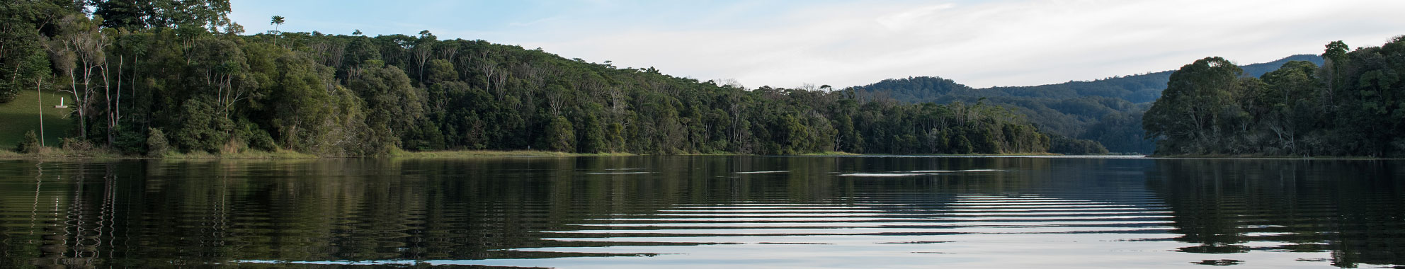
Get your hands on our catchment
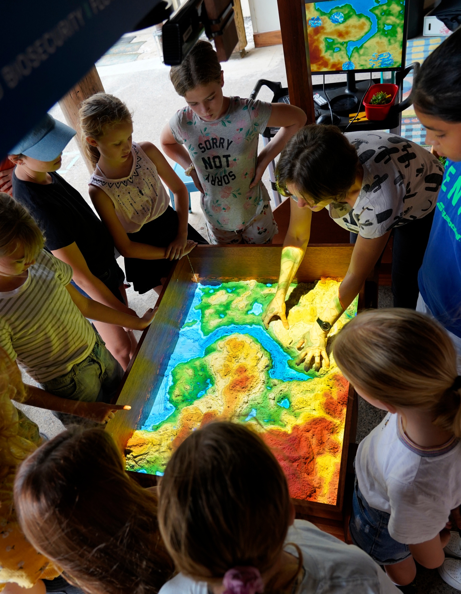
The augmented reality (AR) sandpit is a hands-on, interactive visualisation tool that allows viewers to watch and understand how natural resources (like water) interact with a physical landscape. The AR sandpit can show a range of hydrological and geomorphological processes including water flow in catchments, flooding, evaporation, erosion, drought and even volcanoes! Data from the AR sandbox can also be captured and displayed for demonstrating to project stakeholders and decision makers.
What is an AR sandpit?
An AR sandpit (or sandbox) combines kinetic sand (sand mixed with silicone oil), a projector and software to create a colourful interactive topographic map.
The relationship between natural resources and catchment zones is easily demonstrated by moulding and contouring the sand to different heights and depths. The projections on the landscape refresh instantly, providing a colourful enriched display for the viewer.
The first AR sandboxes were developed by researchers at the University of California - Davis who have made the software and instructions freely available online.
How does it work?
- The depth sensor in the projector detects the distance to the sand below.
- The depth data is transferred to a computer where it is processed by the software.
- The software creates a colour overlay based on the depth data, which is then projected onto the kinetic sand. Different heights are shown as different colours, like on a topographic map. Blue represents water, green low-lying fields and pastures, white for snow caps, etc.
- As the sand moves, a kinetic sensor perceives changes in the distance to the sand surface, and the projected colours and contour lines change accordingly.
- Rain events can be simulated by holding your hand (mimicking a cloud) over an area of the sandbox.
Who can use it?
Rous County Council officially launched the AR sandpit late 2020 at a water-themed event at the Living School in Lismore. Due to event restrictions and the logistics of setting up the AR sandpit, there will only be a limited number of displays this year. To request the AR sandbox at your school or event, you must first fit the following criteria:
- Be within the Rous County Council footprint (Ballina, Byron, Lismore, or Richmond Valley shires).
- Have a flat, shaded area with a minimum 3m height clearance and minimum 5m2 area for set up (preferably indoors with air conditioning).
- Clear access to set up space for carrying heavy frames and equipment.
- Have evidence of water or natural resource management theme for your event.
- Have a draft run-sheet outlining approximate numbers of people and sessions expected.
The AR sandpit is not an easy display to transport and set up, therefore we are currently looking for a permanent display environment where people can visit for demonstrations. Council will, however, try to accommodate enquiries to the best of our resourcing and scheduling. To make an enquiry, contact us via our 'Contact us' form or email: council@rous.nsw.gov.au